Sargents
Sargents / Gunnison, Colorado
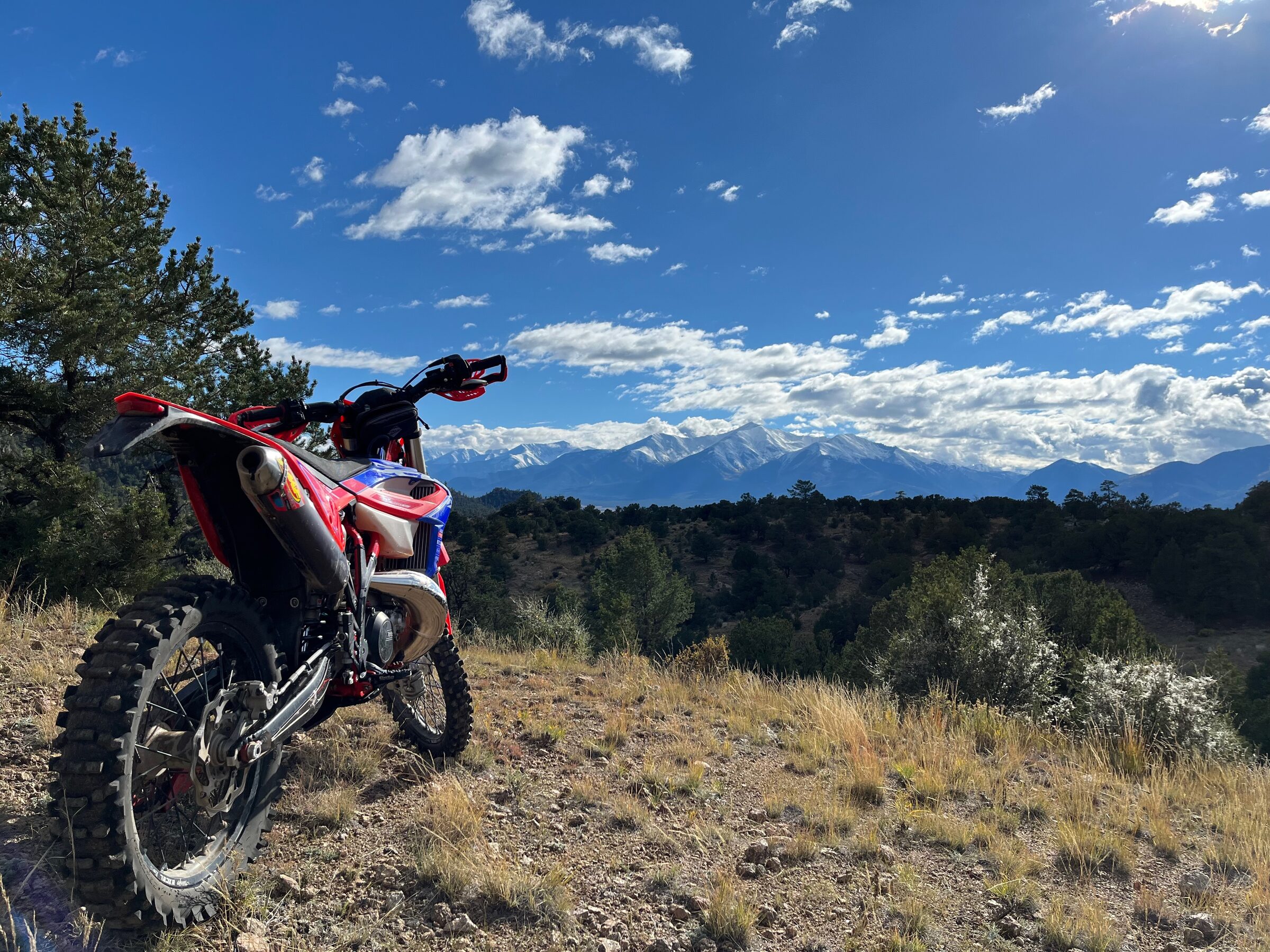
Sargents, Colorado is a remote singletrack base on US-50 west of Monarch Pass, with rocky Gunnison National Forest trails leading to the Continental Divide.
Sargents is a tiny community on US-50 at the western foot of Monarch Pass, and among dirt bike riders the name means the whole network of Gunnison National Forest trails and back roads around it. This is not a beginner destination. Riders who know it describe steep, rocky singletrack with frequent boulder gardens and creek crossings, and little that is easy. Even so, one rider reports covering about 20 miles in a day with two kids on small bikes, so it is not all extreme. Roads for cruising and dual sport riding are plentiful, and the trails connect toward the Continental Divide and, for riders with the skill and the fuel range, toward Taylor Park and Crested Butte.
Trails named in local trail-work reports include the Summit Trail, Dutchman's, Baldy Lake, Hicks, Longbranch, Big Bend, Milk Creek, Tank Seven, Agate Creek, Lime Creek, Canyon Creek and Quakey Mountain. A volunteer crew of riders spent the summer of 2025 clearing rock and drainage on more than 100 miles of these trails, and more work is planned. Agate Creek Trail #484 is a well-known example: the Forest Service lists it as open to motorcycles from June through October, and it climbs along a creek toward the Continental Divide.
Getting there
Sargents sits on US-50 about 32 miles east of Gunnison. The Tomichi Creek Trading Post, at 71420 US-50, is the informal base for riders. It sells gas, has a restaurant and bar, and advertises ride-in, ride-out access to hundreds of miles of off-road trails. The Agate Creek trailhead is about four miles past Sargents on US-50. Marshall Pass Road is another common way onto the trail system.
Fees, permits, and rules
Riding is on national forest land and no area fee is published. Colorado requires an OHV registration sticker for motorcycles that are not street legal, and an out-of-state OHV owner also needs a Colorado OHV use permit sticker for designated trails. Ride only routes shown on the Motor Vehicle Use Map for the Gunnison Ranger District, since routes not on the map are closed to motor vehicles. Paper and app maps are also used locally, and there are no commercial guides, so plan your navigation before you go.
The Trading Post offers cabins, RV sites with hookups and tent or van camping. Check its website for current rates and rules before booking.
When to ride
The Forest Service season for Agate Creek Trail is June through October. Higher trails hold snow into early summer and close in for winter, so check conditions with the Gunnison Ranger District before you go. The Trading Post sits at about 8,500 feet and the trails climb well above that, so allow time to adjust to the altitude.
Know before you go
- Permits
- Colorado OHV registration sticker required; out-of-state OHVs also need a Colorado OHV use permit sticker
- Camping
- Tomichi Creek Trading Post has cabins, RV sites and tent sites; camping on national forest land not researched
- Season
- June through October on Agate Creek Trail; other trails not confirmed